Manuscripts
Tracing of center line of Extension of Boyle Avenue; overlay for SR_Map_0508.01

You might also be interested in

Extension of Boyle Avenue
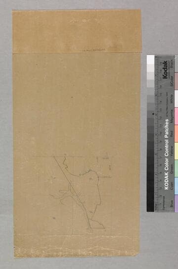
Manuscripts
Stevenson St. to Louisiana Ave., with extensive field notes, parcel owners, lot & blocks numbers indicated. See SR_Map_508.02 for 10 1/2 x 18 1/4 in. tracing of center line of Boyle Ave. extension [see also Map 542]. Alt title supplied by cataloger.
mssSolano SR_Map_0508.01

Extension of Boyle Avenue
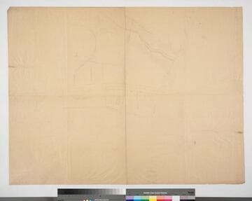
Manuscripts
At Stevenson Ave., Blocks 58 & 59, Hancock's Survey; drawn from deed; with survey notes; lot & block numbers, courses & distances; calculations. [see also Map 508]. Alt title supplied by cataloger.
mssSolano SR_Map_0542
Rancho San Pedro : S37 - tracing of first map in this folder
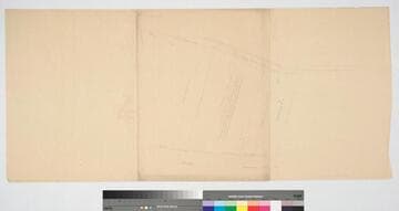
Manuscripts
Tracing of first map in folder: Salt Marsh Tide Swamp & Overflowed Lands; showing section numbers, distances. Title supplied by cataloger.
mssSolano SR_Box_24(03).03
Image not available
Hansen, G[eorge]
Manuscripts
Extension of Boyle Avenue [at Stevenson Ave., Blocks 58 & 59, Hancock's Survey (cf. Map No. 508)]
mssSolano
Workman and Hollenbeck properties
Manuscripts
Lots 2 & 5 Block 59, Lot 4 Block 60, Hancock's Survey, both sides of Boyle Ave. from Park Ave. to Stevenson Ave.. Showing surface detail, structures, vineyard. Alt title supplied by cataloger.
mssSolano SR_Map_0489
Hollenbeck property
Manuscripts
Also Workman (Bulhune Lot), Lots 2 & 5 Block 59, Hancock's Survey, west side of Boyle Ave.. Hachures, bearings, distances indicated. Alt title supplied by cataloger.
mssSolano SR_Map_0497